
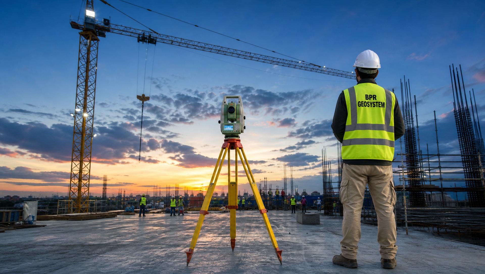
ENGINEERING. PRECISION. TRUST.
Land Surveying and Mapping
Construction Solutions
Across Uzbekistan
We provide accurate survey data, civil engineering and construction services for infrastructure, industrial, water & wastewater and urban development projects.
High Accuracy
Modern equipment and proven methods
Reliable Results
Accurate data for confident decisions
Experienced Team
20+ years of professional experience
On-Time Delivery
Committed to your project schedule
20+
YEARS
EXPERIENCE
1,200+
HECTARES
SURVEYED
150+ km
UTILITIES
MAPPED
100+
CONTROL POINTS
ESTABLISHED
8+
REGIONS
COVERED
Our Services
Land Surveying and Mapping & Construction Services
LAND SURVEYING & GEOSPATIAL
- Topographic Survey
- GNSS / RTK Survey
- Control Networks
- Utility Mapping
- As-built Survey
- Volume Calculation
- GIS & Mapping
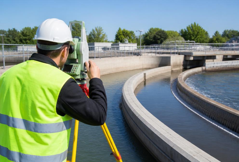
CIVIL ENGINEERING & CONSTRUCTION
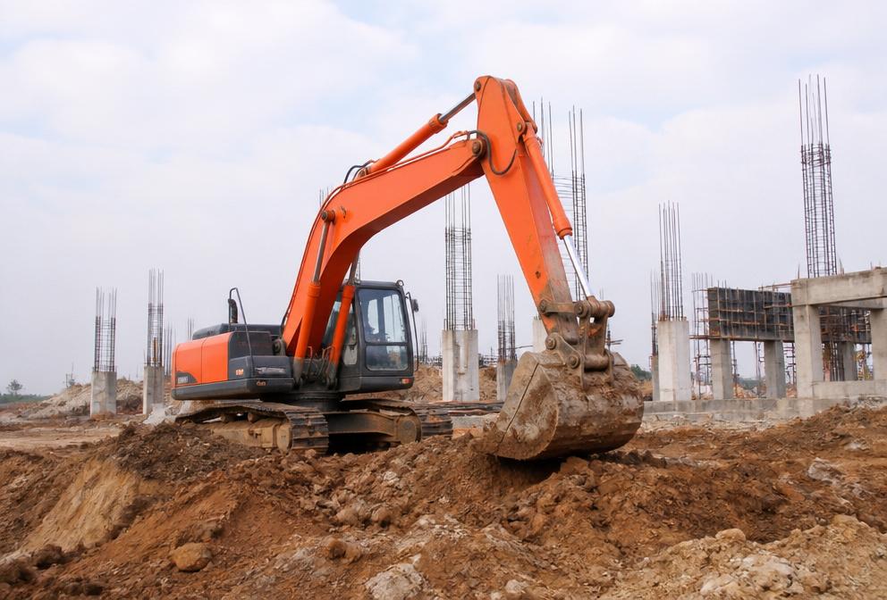
- Earthworks & Site Preparation
- Road & Utility Construction
- Foundation & Concrete Layout
- Water & Wastewater Works
- Construction Supervision Support
- Quantity Calculation & Reporting
Recent Projects
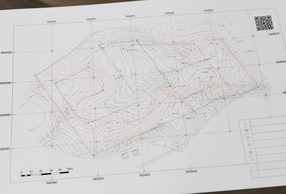
Topographic Survey
WWTP Project
Tashkent Region

Construction Layout
Industrial Facility
Tashkent Region

Control Network
Geodetic Control Points
Tashkent Region
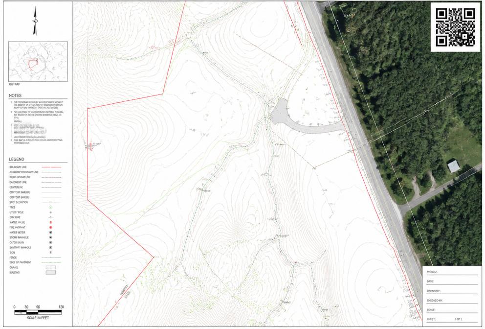
Digital Topographic Submission
QR Verification
topografiya.uz
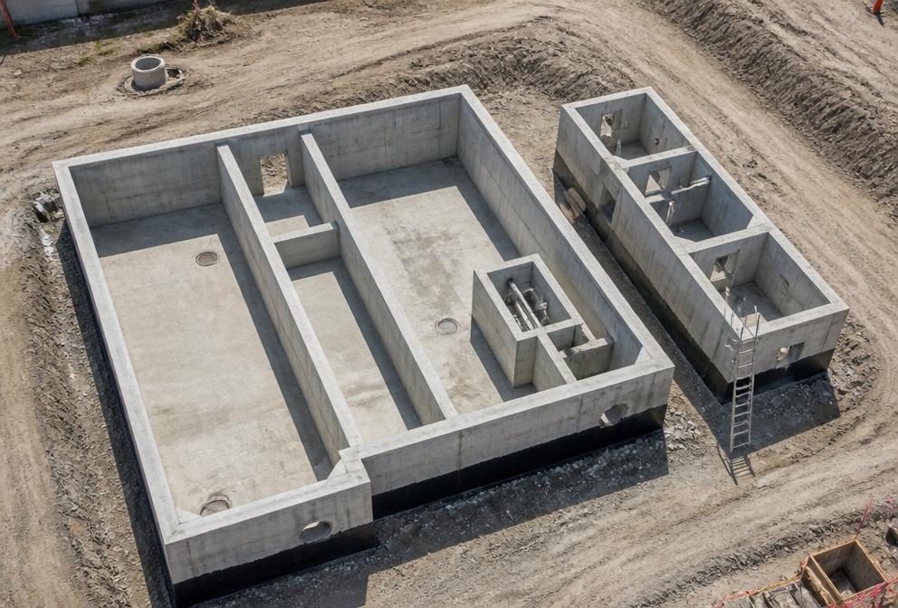
Construction Support
Water & Wastewater
Tashkent Region
Equipment We Use
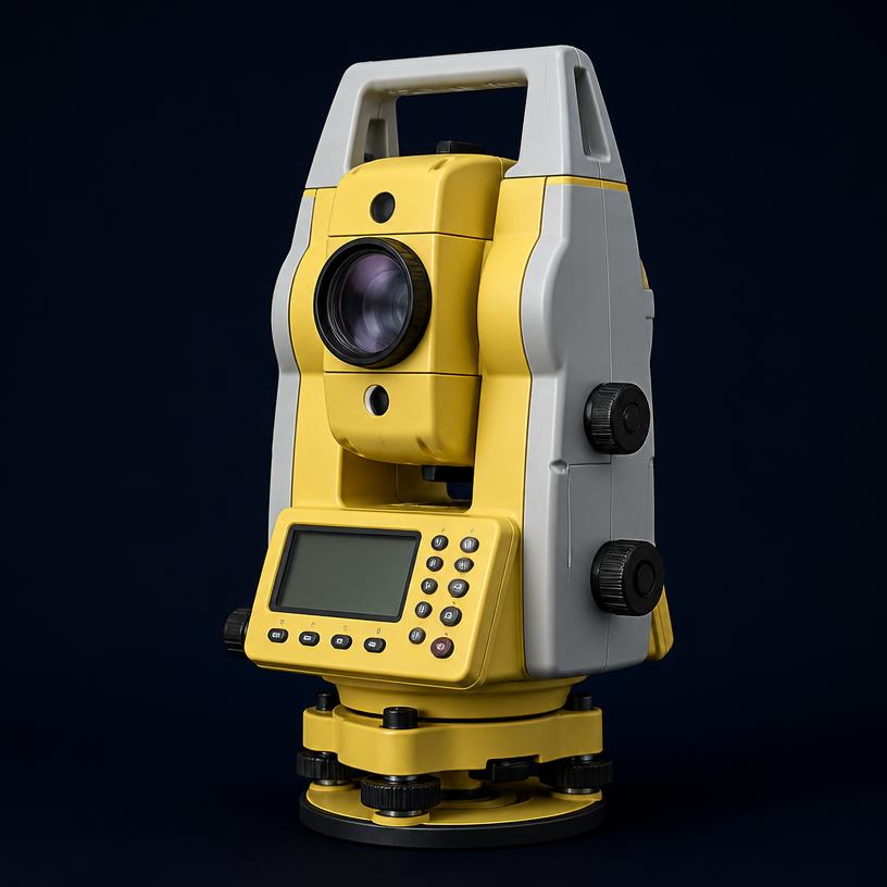
Leica TS06
Total Station
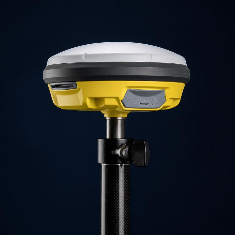
Leica GS15
GNSS Receiver
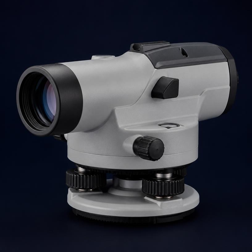
Leica NA720
Auto Level

DJI Mavic 3E
UAV Drone
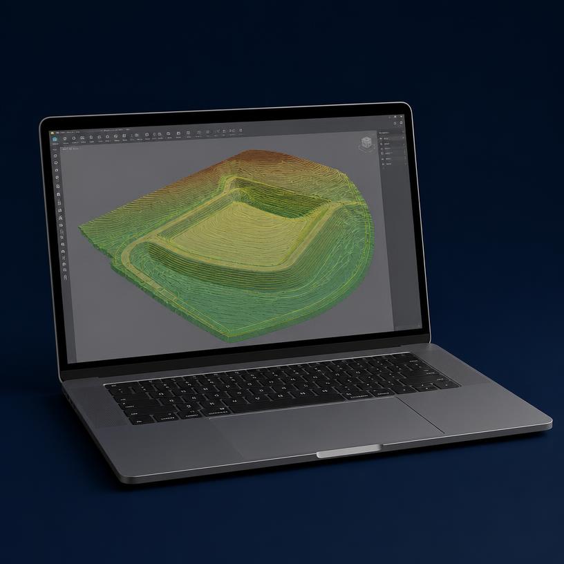
Civil 3D
Survey Software
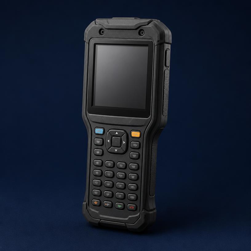
Field Controllers
Data Collection
WHY CHOOSE BPR GEOSYSTEM?
Accuracy
High-accuracy data using modern technology.
Experience
Over 20 years of professional survey and engineering.
Reliability
Trusted by clients for quality and deadlines.
Solutions
From survey to construction — we support your project.
GET IN TOUCH
+998 99 109 8975
info@bprgeo.uz
Tashkent, Uzbekistan,